Sáčurov – Slanské vrchy – Sáčurov is a scenic cycling loop combining the peaceful landscapes of eastern Slovakia with the distinctly more mountainous terrain of the Slanské Mountains. The route is approximately 52.5 km long with around 760 metres of elevation gain, offering considerably more of a sporting challenge than typical recreational routes across the East Slovak Lowland.
The route starts in the Sáčurov area. The first kilometres lead through lower-lying terrain, but as the route moves away from the village, the character of the ride gradually changes. The climbs become longer as the route heads towards the forested hills rising above the surrounding lowlands.
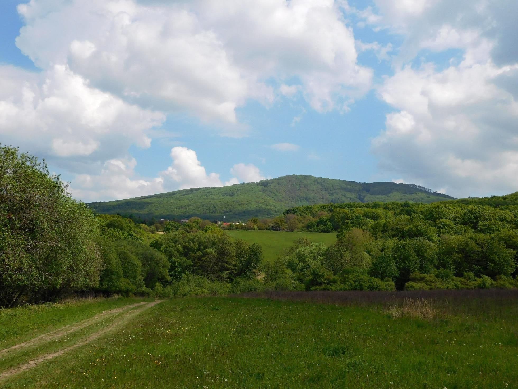
The most interesting part of the journey leads through the Slanské Mountains. This is where the route takes on a genuine mountain character. Successive climbs take riders to more than 660 metres above sea level, over 500 metres higher than the lowest sections of the loop. The reward for the effort of gaining altitude comes in the form of longer descents and the opportunity to ride through peaceful landscapes surrounded by forests.
The considerable difference in elevation between the lowest and highest sections makes the route highly varied. Gentler sections provide opportunities to recover and maintain a good pace, while the longer climbs require a solid level of fitness. As a result, the entire loop feels like a genuine cycling adventure rather than simply a leisurely recreational ride.
The route is particularly well suited to eMTB bikes, especially on the longer climbs in the Slanské Mountains. At the same time, fitter and more experienced cyclists on conventional mountain bikes will find it an interesting endurance challenge. The combination of more than 50 kilometres of riding, approximately 760 metres of elevation gain and mountain scenery makes this one of the more demanding cycling trips in the Sáčurov area.
Trail map
Gallery
Elevation profile